Who is it for?
Travelers, hikers, climbers, photographers, and anyone who wants a private record of places organized by elevation rather than a public social feed.
PRIVATE ELEVATION JOURNAL FOR IPHONE
Your places,
organized by elevation.
Build a private elevation journal on your iPhone. Save a place where you stand, then see your heights beside Mount Fuji and Everest.
START HERE
Start with an original photo that retains coordinates, elevation, and capture time. Or explore what your saved heights can become.
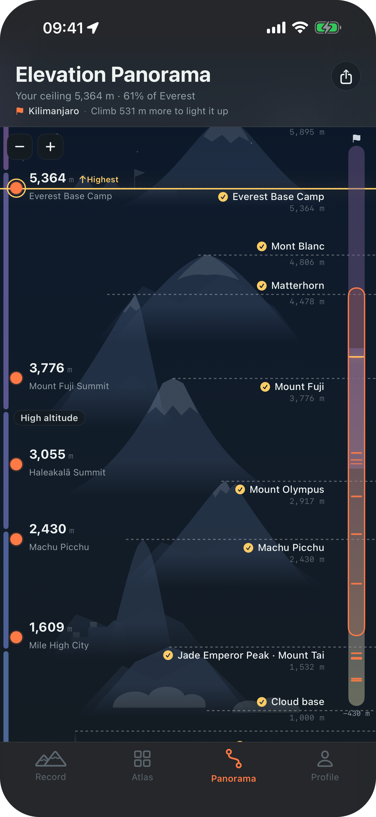
A true-scale elevation panorama
Every pixel maps to real meters. Your marks live on the left, world landmarks on the right, and Everest remains the finish at the top. Scroll from −430 m to 8,849 m to see the full range.
Every mark keeps the context
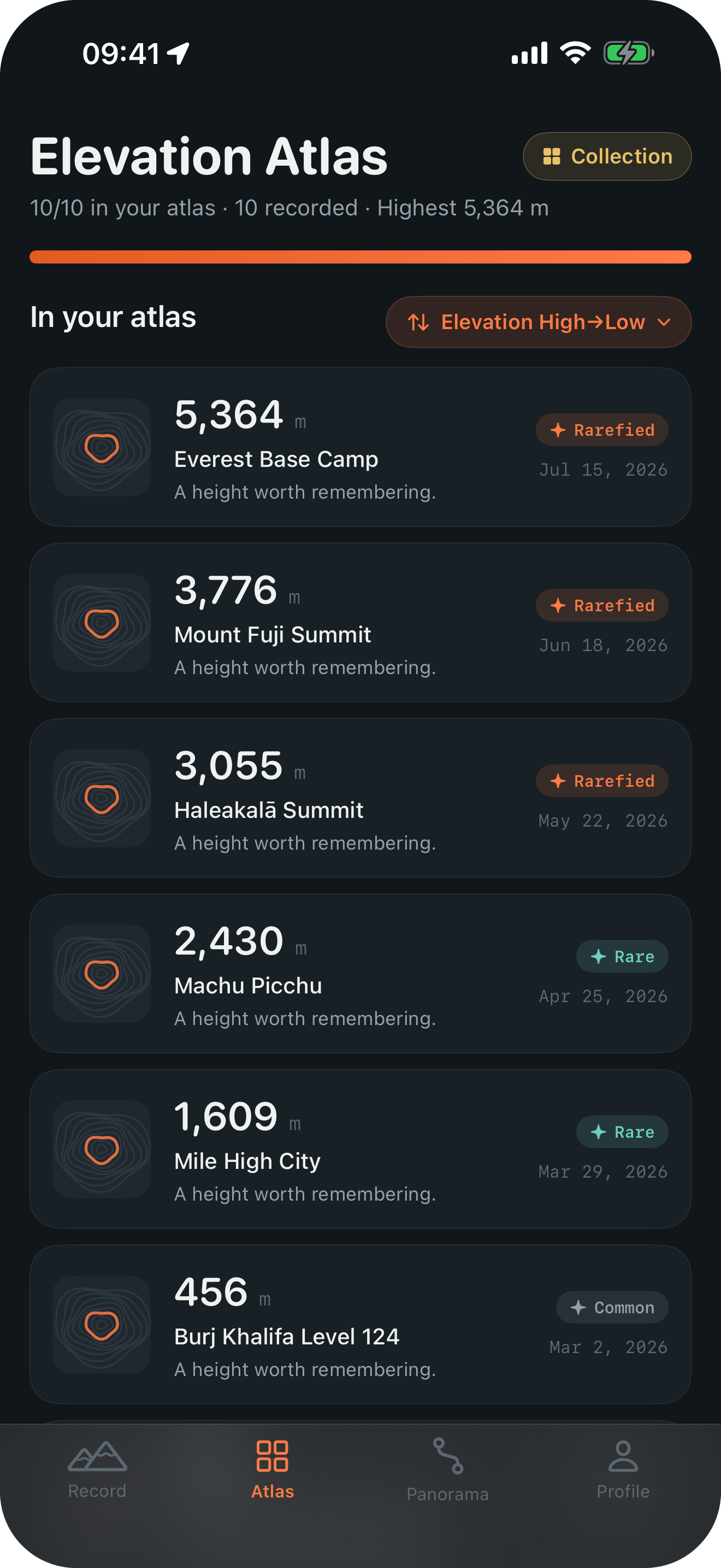
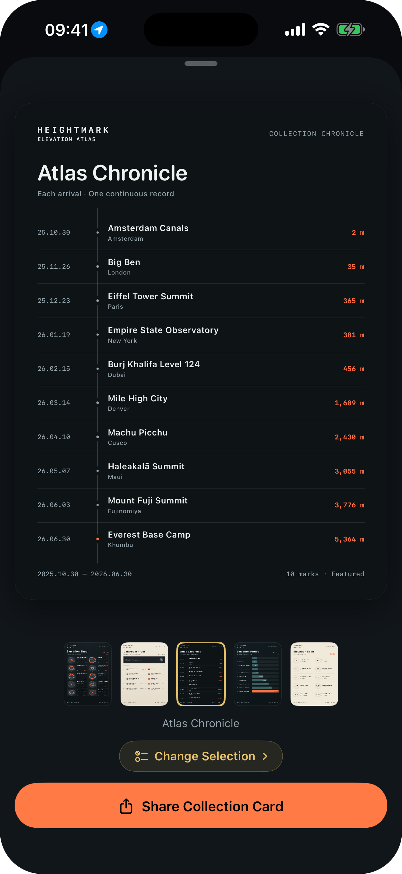
Each mark keeps its place, coordinates, time, optional photo, and note. Your atlas sorts saved places by elevation or date; a Collection Card keeps a whole journey together.
One elevation, more than one story
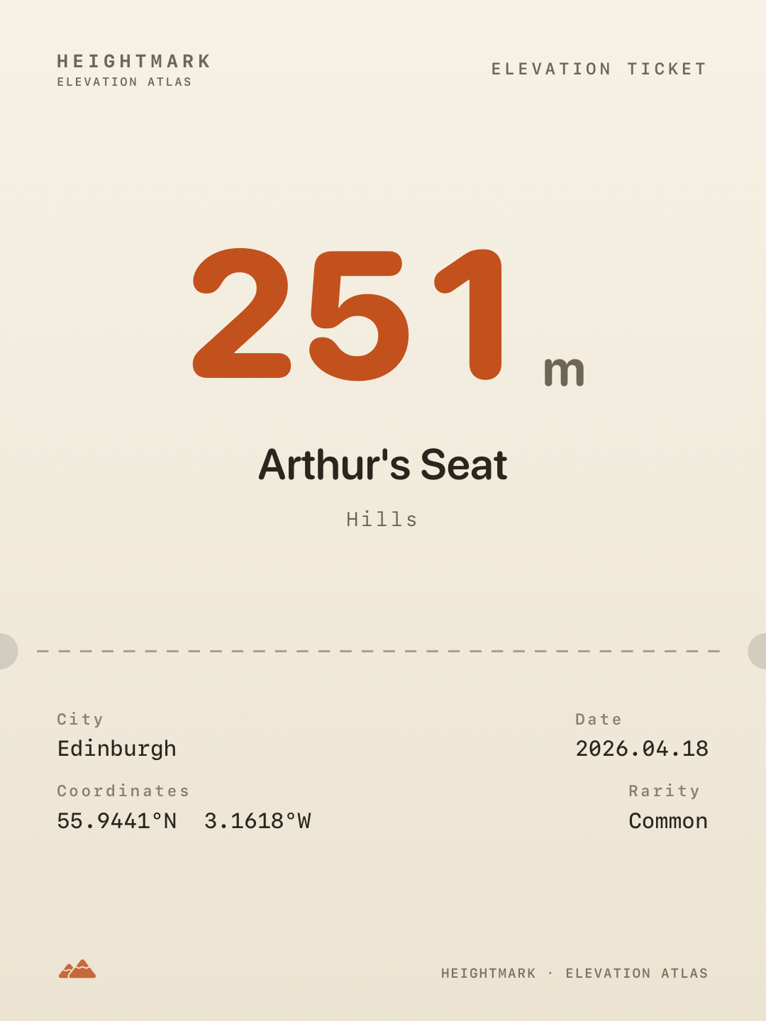
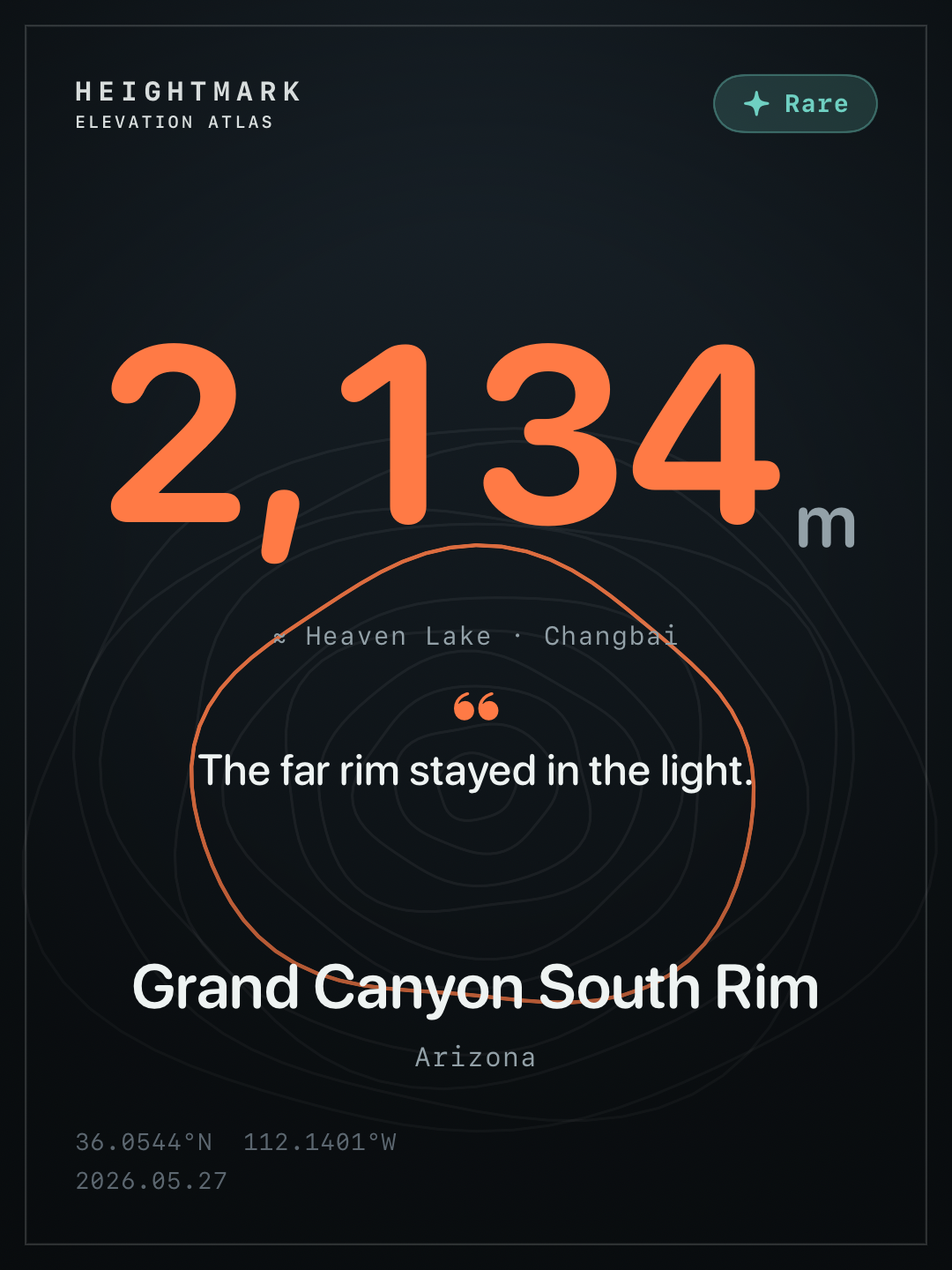
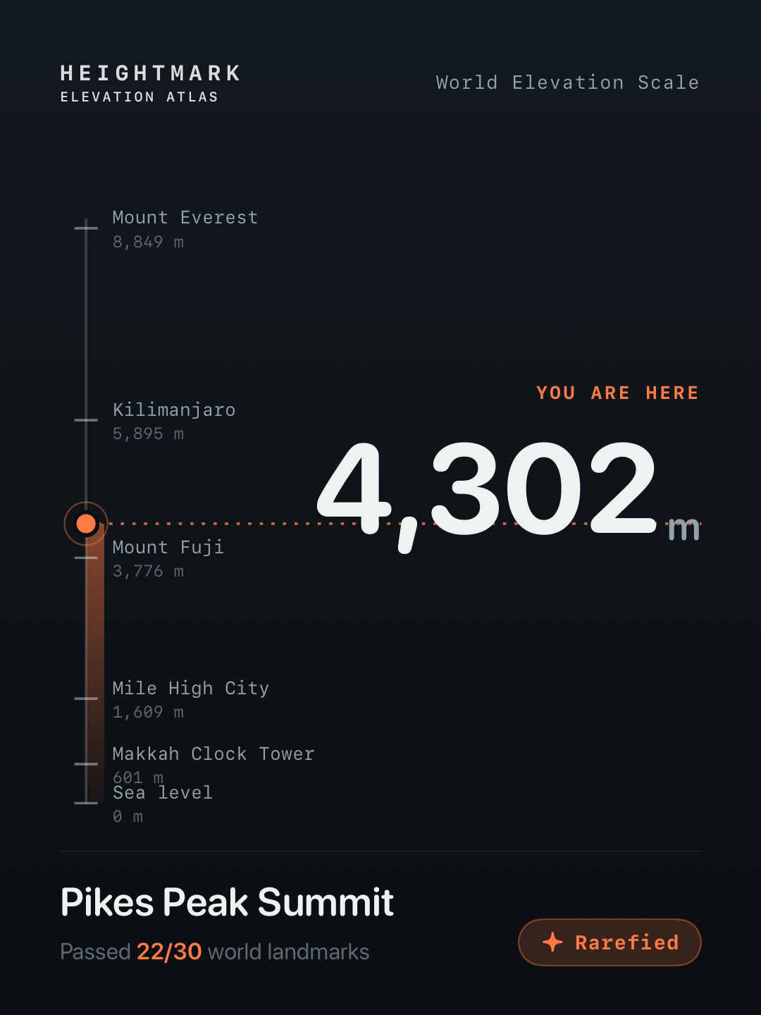
A familiar hill can become a field ticket, a canyon rim can carry contour lines, and a summit can sit on a world ruler. Each 3:4 layout keeps your elevation, place, date, and note private until you choose to share it.

No preparation needed
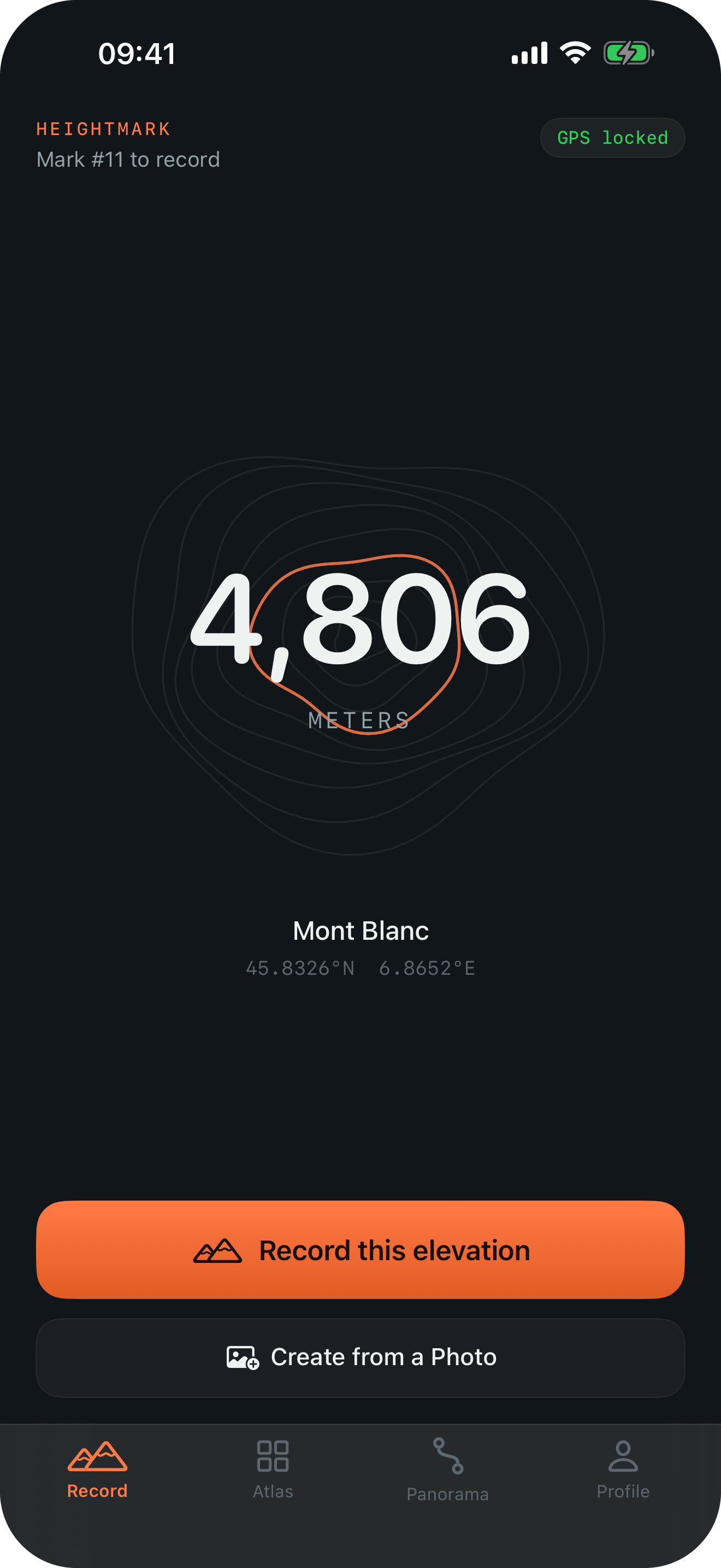
Allow location access and Heightmark reads your position, elevation, and vertical accuracy.
See which world landmark it is closest to, or take another reading under open sky.
Add an optional photo and note. The mark appears in both your atlas and panorama.
Private by design
Marks, photos, and notes are stored on your device. The developer has no server that receives your marks and does not collect your location history.
Read the full privacy policyThe essentials, plainly stated
The doorframe measured you from the floor.
Heightmark measures you from the sea.
Heightmark is a private iPhone elevation journal and travel atlas. It records the elevation supplied by iPhone Location Services where you are standing or recreates a mark from an original photo retaining coordinates, elevation, and capture time, then organizes every saved place in an atlas and a true-scale elevation panorama.
Product facts updated September 5, 2026.
Travelers, hikers, climbers, photographers, and anyone who wants a private record of places organized by elevation rather than a public social feed.
Yes, as a familiar category term. The actual elevation and vertical-accuracy estimate come from iPhone Location Services; Heightmark also saves the place, coordinates, time, optional photo, and note as a reusable mark.
A travel map shows where you have been. Heightmark adds the vertical dimension: every mark can be compared with world landmarks and placed on one true-scale panorama from below sea level toward Everest.
Yes, if the original photo retains coordinates, elevation, and capture time. All three are required. Heightmark reads the stored elevation; it does not calculate a missing elevation from coordinates. Copies from chat apps or the web may lose this metadata. See the photo import guide.
A few things before you download
You can keep recording marks for free. Heightmark supports iPhone, iOS 17 and later, English and Simplified Chinese, and displays elevation in meters or feet.
Your next mark is beneath your feet